We left Cascade Meadows in Bend on Friday, Aug 13 and traveled east on Rt. 20.


Here is a sign at a rest stop that is different than what we would expect in Florida. By mid-afternoon we crossed into Fruitland, Idaho and were soon at the Neat Retreat RV Park after that.
There are more pictures / slide show at: http://jackbarbic.shutterfly.com/3931


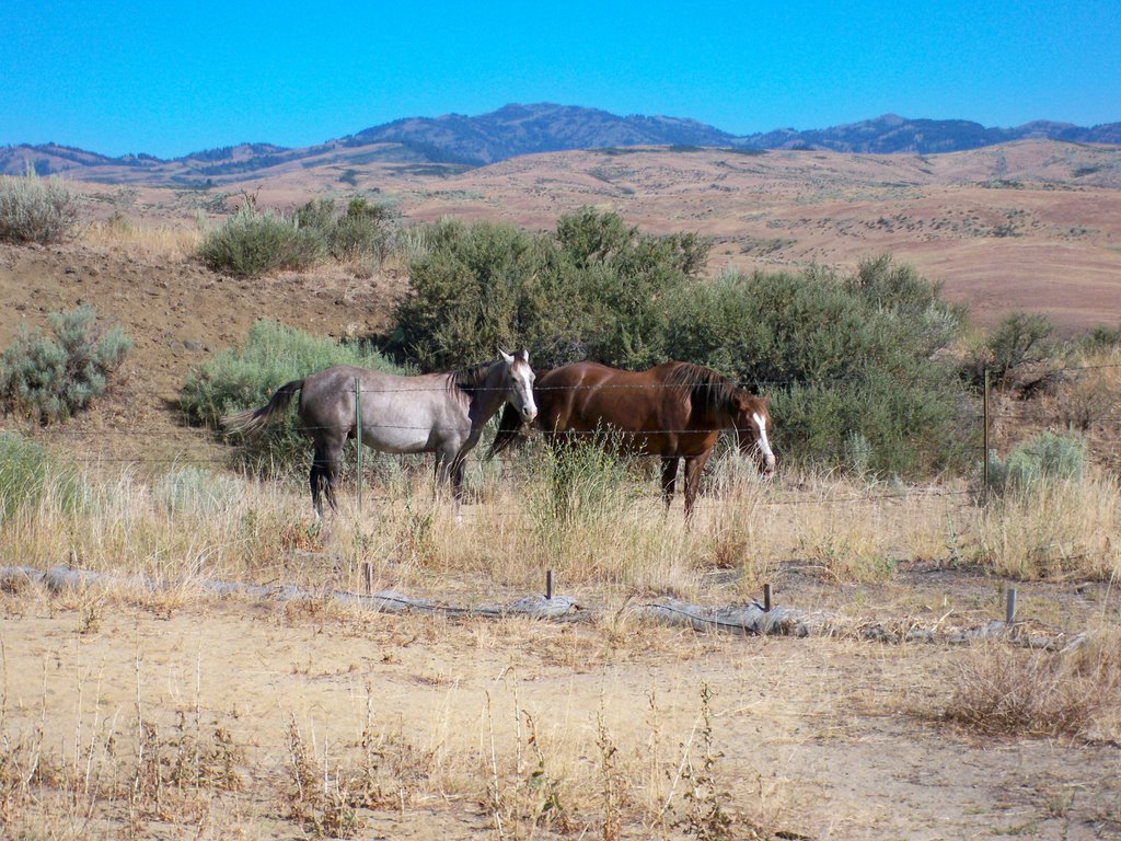
The next morning we drove (by car) to Hells Canyon. On the way we stopped at a rest area. There were a couple of horses near by and a sign that would keep you from wandering off the walkways, Similar to when we were at Chimney Rock.

The canyon was carved out by the Snake River. The northern boundary is about 90 miles south of Lewiston ID and south to Oxbow. Driving north from Fruitland we took Rt 95 and Rt. 71 to Oxbow and then north on the Hells Canyon Scenic Byway. Rt.71 drops down into the canyon and has some steep parts, then winds along the Brownlee Reservoir. The reservoir is 57 miles long. If you like fishing, this is the place to be. In the 1980’s and early ‘90’s it was called “The best warm water fishery in the western United States. We took the Hells Canyon Scenic Byway which was described as a road a mile deep among two mile high mountains.


On the way in we past Gateway, which is a restaurant and general store. This is the only source of supplies for those camping in this area.


A short distance north of the dam Rt.71 crossed into Oregon, at Oxbow we crossed back into Idaho. We didn’t know at the time but we missed seeing the Oxbow Dam. It is also an earth fill dam with a generation capacity of 220 MW. It’s spillway is 770 feet long and has three gates.
There are many places to camp along both sides of the river and reservoirs. Most campsites have water and a toilet available. The modern waterless “outhouses” have come a long way in eliminating the distinctive outhouse odors. We did find a couple of really nice campgrounds that belong to the Idaho Power Co. I would like to stay here but it would be a challenging drive in the motor home. I did see trailers and small fifth wheels. I did not see any large Class A’s.


There is a lot of history here. In 1806 three members of the Lewis & Clark Expedition entered Hells Canyon while looking for a rout to the Pacific Ocean. The first real exploration occurred in 1811 by people looking for a shortcut through Hells Canyon to the Salmon River. In 1860 some gold was discovered, miners came but operations were never highly successful. Cattle and Sheep ranchers moved in during the late 1800’s and exist today.
More pictures / slide show at: http://jackbarbic.shutterfly.com/3994
On the way back to the motor home we stopped at a road side vegetable stand and got several of the best sweet corn you cam imagine. Nothing beats fresh picked produce.!
No comments:
Post a Comment